
All the data in one place
Query multiple readings like rivers, flood, rainfall, water and air quality, storm overflows and weather together - instead of integrating multiple sources.
Flood warnings, river levels, rainfall, air and water quality, storm overflows, tides and weather. Live, historic and forecast readings from the Environment Agency, DEFRA, the Met Office and more, in one consistent format.
Also available as a live map and an MCP server for AI assistants.
{
  "data": [{
    "at_risk": true,
    "severity": "Flood alert",
    "warnings": [{
      "area": "Weymouth Harbour"
    }],
    "forecast": {
      "risk_level_label": "Very low",
      "source": {
        "id": "metoffice_fgs",
        "licence": "ogl-3.0"
      }
    }
  }]
}APIRepublic is an independent service, not affiliated with or endorsed by any government agency or data publisher.
Sourced from
01Platform
Rivers, rain, sea, air and storm overflows arrive in one schema, with one set of units and one way to query them.
atmospheric.precipitation.rate
mm/h
hydrological.river.level
m
marine.wave.height.significant
m
water_quality.discharge.active
bool
air_quality.pm25
µg/m³
marine.tide.height.current
m
40
measurements, one naming scheme
CF standard names where defined. Metric or imperial. Times in UTC.
02Features
One schema, one auth token, one licence.
Query multiple readings like rivers, flood, rainfall, water and air quality, storm overflows and weather together - instead of integrating multiple sources.
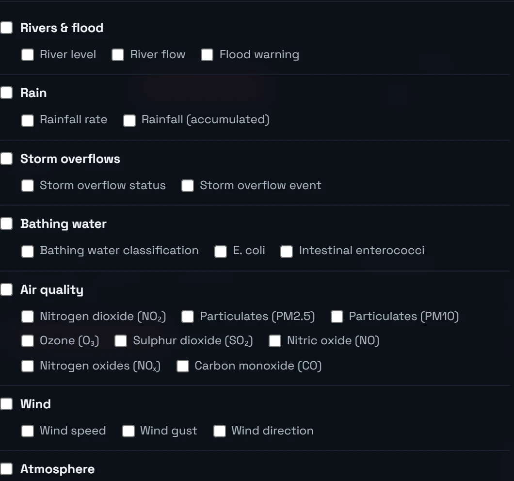
Get it all together - instead of looking at a dozen different sources.
Readings you can explore with APIRepublic
Clearly labelled data, and your choice of metric or imperial, across every source - so everything lines up.
| Source | Name and CF standard name | Unit |
|---|---|---|
| Environment Agency | hydrological.water_ | m |
| NRFA | hydrological.water_ | m³/s |
| DEFRA UK-AIR | air_quality.mass_ | µg/m³ |
| Channel Coastal Observatory | marine.sea_ | m |
| Open-Meteo | atmospheric.wind_ | m/s |
Different sources, one tidy language. Every reading is labelled the same way, so river levels, air quality and water quality all line up at a glance.
Every reading shows its source and the time it was measured. We show you the data; you make the decisions.
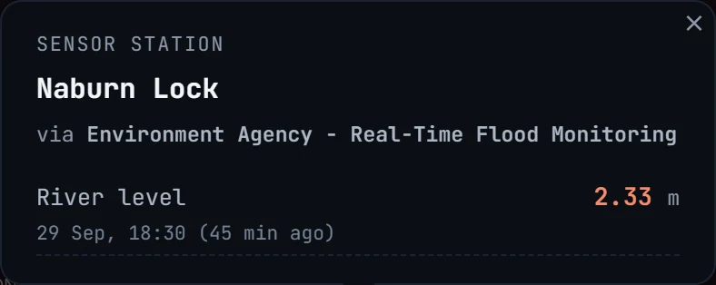

Every reading names its source and shows the moment it was measured, so you always know exactly what you are looking at.
Straight from sources like
Ready-made bundles like site constraints, flood & rivers and air quality pull together the right readings for a job in one go.

Tell us the job and we bundle the right readings together. One preset pulls everything that matters in one go:
03Access
The same data behind a REST API, a live map and an MCP server for AI assistants.
Search by postcode, point, radius or bounding box. Ask for a single measurement, a group or a ready-made activity bundle. Every row carries its unit, its measurement time in UTC, its source and its licence.
Drop a pin or enter a postcode, set a radius and open any location for its latest readings. Switch to historic or forecast with one control.
Map: OpenFreeMap, © OpenMapTiles, data © OpenStreetMap contributors
Connect Claude, Cursor or any MCP-aware assistant. Every tool returns figures with their source and licence attached.
04Use cases
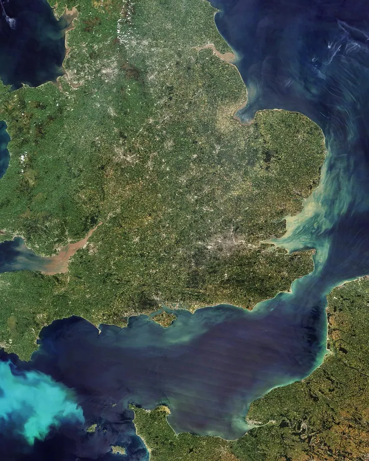
Screen every address in your underwriting or claims workflow against live warnings and the five-day flood outlook.
GET /v1/flood/risk
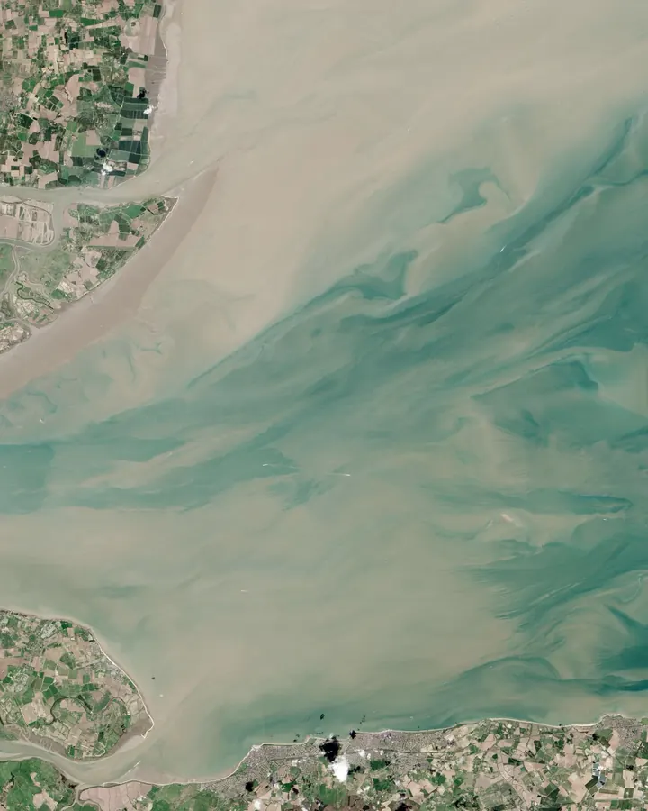
Feed levels, rainfall and overflows into your dashboards and site reports, and check any site on the live map.
activity=site_constraints

Load source-attributed series straight into Python or R, with CF standard names where defined.
GET /v1/locations/{id}/history

Building ships, drones, AUVs or USVs? Read any deployment site's conditions through one schema, in your code or your AI assistant.
GET /v1/observations
05Coverage
21,898 locations
14,199 storm overflows · 7,235 monitoring stations · 464 bathing waters
06Get access
The API, the map and the MCP server under a single licence. Tell us what you need and we will set you up, or arrange a free trial.
We do not sell your data, and we never track your location.
Explore everything on one map. Drop a pin, choose how far to look, and tap any point for the latest readings - like this:
Map: OpenFreeMap, © OpenMapTiles, data © OpenStreetMap contributors
Build the same data straight into your own apps and workflows. One simple request, one tidy response.
Pick an endpoint below and watch it stream into the terminal:
Connect APIRepublic to your AI assistant - Claude, Cursor or any MCP-aware tool - to get answers straight from the source data.
Pick a question below to watch the AI assistant respond:
Want predictions, modelling or analysis built on this data? Chat to us about custom ML integrations.
Want access, a free trial, or just to say hello? We'd love to hear from you.
admin@apirepublic.co.ukAPIRepublic is a trading name of API REPUBLIC LTD, a company registered in England and Wales (company number 17514221), registered office 124 City Road, London, United Kingdom, EC1V 2NX.
We are the data controller for the personal data described in this policy. Enquiries relating to this policy, including the rights set out in section 10, should be directed to admin@apirepublic.co.uk.
This policy covers the APIRepublic website, the authenticated
/v1 HTTP API, and the optional MCP add-on that exposes the same data
to AI assistants. It does not cover the public bodies and other data publishers
whose data we relay - each publishes its own terms.
Customer record. When you sign up for a licence we keep a customer record of the details you give us: your name, email address, company (if provided) and your stated purpose, together with your licence details such as its start and expiry dates. These are the only personal details we hold.
Your auth token. Access is granted as a signed token carrying your name, email address, an expiry date and an opaque licence identifier. The identifier is a one-way hash of your email address, used to apply rate limits without retaining further data. The token is self-contained, so we store no passwords or other sign-in credentials, and keep no session store.
Operational logs. Our application records the time of a request, the route requested, the HTTP status code and a random request identifier. It does not record your IP address or browser user-agent. Our hosting provider maintains separate web access logs, which do conventionally include IP addresses and user-agent strings; these are used only to investigate faults and abuse.
Query parameters. Locations you search - a postcode, a map position, a radius - are processed to answer the query. A postcode does not identify a person, but may indicate a location of interest; section 6 sets out the third-party postcode lookup.
Rate-limit counters. A short-lived request counter is held against your licence identifier to prevent flooding of the API. It is held in memory only, decays within a minute, is keyed to the licence rather than to your IP address, and is discarded when the service restarts.
Correspondence. Where you email us, we retain that correspondence and our reply.
This site sets one cookie. It is strictly necessary: it authenticates your active session while you are signed in, and it expires when your auth token does. It is not used for any other purpose.
One preference is stored locally in your browser: whether you have dismissed the cookie notice. It is held in local storage rather than in a cookie, so that retaining the preference does not itself require a tracking cookie.
Because we set no analytics, advertising or other non-essential cookies, there is nothing here for you to consent to or opt out of. The cookie notice is informational, not a consent gate.
Fonts, scripts and the interactive API reference are served from our own servers. On the map page only, your browser contacts the following third-party services directly. Those providers therefore receive your IP address and the identity of the page making the request:
tiles.openfreemap.org), using
OpenStreetMap data - serves the map background (style, tiles, map labels and
symbols). The tiles requested indicate the approximate area of the map being
viewed.api.postcodes.io) - converts a
UK postcode you enter into coordinates. The postcode is transmitted to this
service; no account or identity details accompany it.None of these providers sets a cookie on this site, and none receives precise device geolocation.
Hosting. This website and the API are hosted on
Render (render.com), which runs our servers and
processes data on our behalf as our hosting provider. Render's handling of
that data is described in its own privacy policy, at
render.com/privacy.
Upstream data providers. Queries for river levels, rainfall, storm overflows, air quality, tides and forecasts are made by our server on your behalf. The Environment Agency, DEFRA, the National River Flow Archive, the Channel Coastal Observatory, the Met Office and Flood Forecasting Centre, Open-Meteo and the nine water companies' storm-overflow feeds therefore receive a request from us containing nothing that identifies you.
We do not sell your personal data, and we do not disclose it to any party beyond those described in this section, except where required by law.
Personal data is held in the UK or the European Economic Area. The map-tile and postcode lookup providers named in section 6 may serve requests from, and process your IP address in, a country outside the UK. Where this occurs we rely on the UK adequacy regulations or on the International Data Transfer Addendum to the European Commission's standard contractual clauses, as applicable to the provider concerned.
Under UK data protection law you have the right to: be informed about how your data is used; request a copy of it (a subject access request); have inaccurate data corrected; have your data erased; restrict how we use it; object to processing based on legitimate interests; and receive your data in a portable form.
To exercise any of these rights, email admin@apirepublic.co.uk. We will respond within one month. No charge applies. Given the limited data we hold, erasure of your customer record is the principal action available, and it terminates your access.
Limitation on erasure: your auth token is a self-contained signed credential held by you, not a record on our server. We can cease to honour a licence and delete our copy of your details, but we cannot recall a token already issued to you. Tokens expire of their own accord, and we may decline to renew one.
Concerns about our handling of your personal data should be raised with us in the first instance. You also have the right to complain to the Information Commissioner's Office, the UK data protection regulator, at ico.org.uk/make-a-complaint or on 0303 123 1113. Our entry on the ICO's data protection register is C2081587.
APIRepublic is a professional data service and is not directed at children. We do not knowingly issue licences to, or collect personal data from, anyone under 18. Where we are notified that a child's data has been provided to us, it will be deleted.
We do not carry out any automated decision-making or profiling that produces legal effects for you or otherwise significantly affects you. Rate limiting is an automated technical control on request volume, not a decision about you.
We maintain appropriate technical and organisational measures to protect personal data. Auth tokens are cryptographically signed, and the key used to issue them is held offline rather than on the server, so a compromise of the running service cannot be used to issue access. All traffic is served over HTTPS, and the session cookie is hardened against interception and misuse. We store no passwords or other sign-in credentials, so there are none to be breached, and our customer records hold only the sign-up details listed in section 3. Automated abuse is constrained by rate limiting.
Where this policy is amended, the version and date shown at the top will be updated. Where an amendment materially affects the handling of your personal data, current licence holders will be notified by email. A copy of the policy as it currently stands may be downloaded using the control at the top of this card.
API REPUBLIC LTD, 124 City Road, London, United Kingdom, EC1V 2NX
admin@apirepublic.co.uk